Some people dream of Hawaii and Jamaica. I have dreamt of Cook Forest State Park. I have always had a picture of it in my mind as being just perfect. Well after many years of dreaming, we headed northeast and went. I was not disappointed. The park itself is beautiful… just breathtaking (but remember, I don’t get out much). I’m going to review the park and our hike first and will cover our camping experience in another post.
 We went to Cook Forest the second weekend of October. It was past its prime and not overly crowded. We started our hike by parking in the lot at the Log Cabin Inn. Our hike began around 9:30 AM. Restrooms are available at this lot as well as maps.
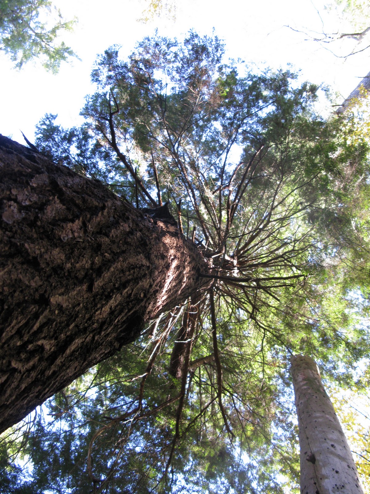
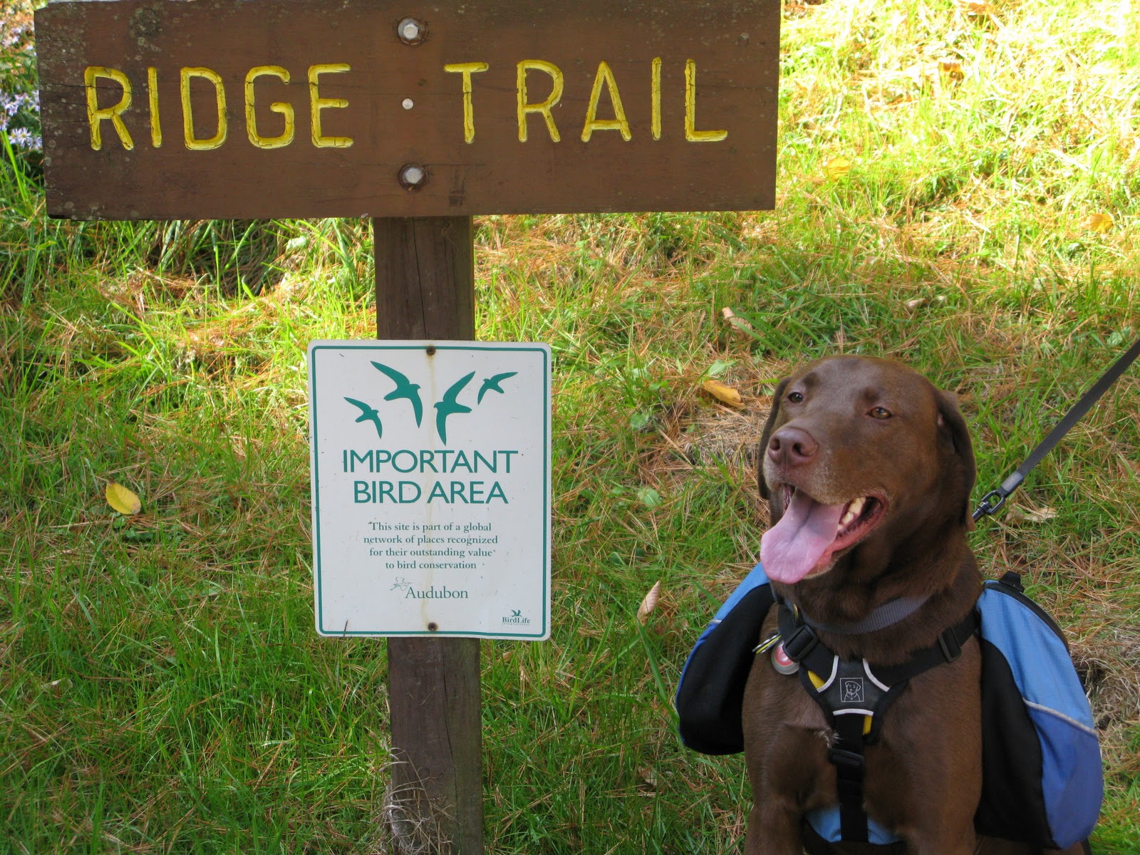
We walked towards the road (Forest Road, SR 1015) that runs through the park. We headed left over the small bridge and then spotted Ridge Trail on the other side. We crossed and began our trek. This trail led up the hill and was difficult, especially if you aren’t used to such things. It was only .7-miles until reaching the campground, but is steep. However, there are many beautiful large oaks and black cherry trees to look at to take your mind off of your breathing. It does come to the top of the mountain and then gradually goes down hill to the campground.
From there, we took a shortcut to the left towards the campground entrance, crossed the Route 36 and started up Fire Tower Road. MISTAKE! Don’t walk up this road. We should have continued to the right a bit further and walked up Mohawk. Fire Tower Road is a one way vehicle road that, at least on the day we were there, was well travelled. We had to keep stepping off the trail to let cars go by. Next time, it will be Mohawk to Fire Tower Road and then to River Trail. We hiked to the start of River Trail off of Fire Tower Road.
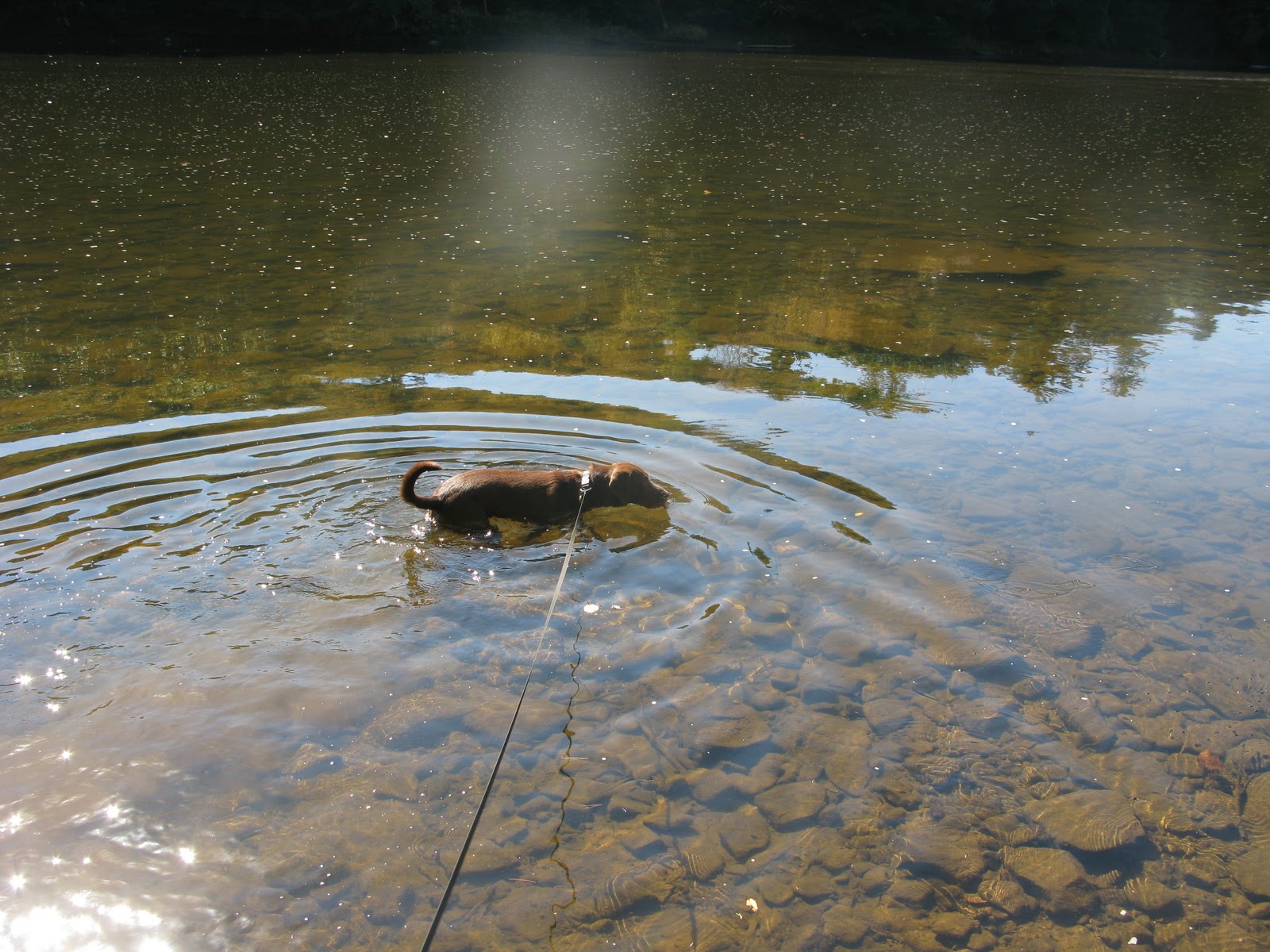
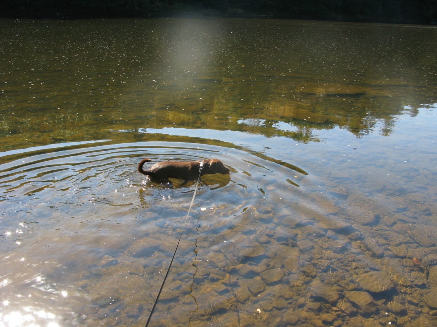
River Trail is 1.7 miles long and is also considered difficult hiking. As you head down towards the river, it is steep in places, but the real challenge was getting a good footing on some of the rocks. They were a bit loose at times and you just had to keep your balance. It didn’t help having a dog pulling you behind him as he was on a mission to get to the river as fast as he could. The trail is lined with Rhodies and Mountain Laurel and would be beautiful in the spring. Once you reach the river, you are about two-thirds through this trail. Take a break and enjoy the view, or, like Penn did, take a dip to cool off. The trail then takes you along the river a bit before it curves back up hill toward the Fire Tower and the end of Fire Tower Road. This is one steep hillside. It has curves in it to make it more manageable, but it is still steep and sometimes not that well marked. We were guessing whether we are were still on the trail at times. However, with the Fire Tower drawing a crowd of car goes just above, we could just follow the voices. We also passed many that had driven to the Fire Tower and just walked down to see the river. This was the most populated part of our hiking experience.
Once we arrived at the Fire Tower, we did not have the energy to go up it. It was crowded and a line of people waited to take the many flights of stairs up to the top to see the view. We kept hiking instead.
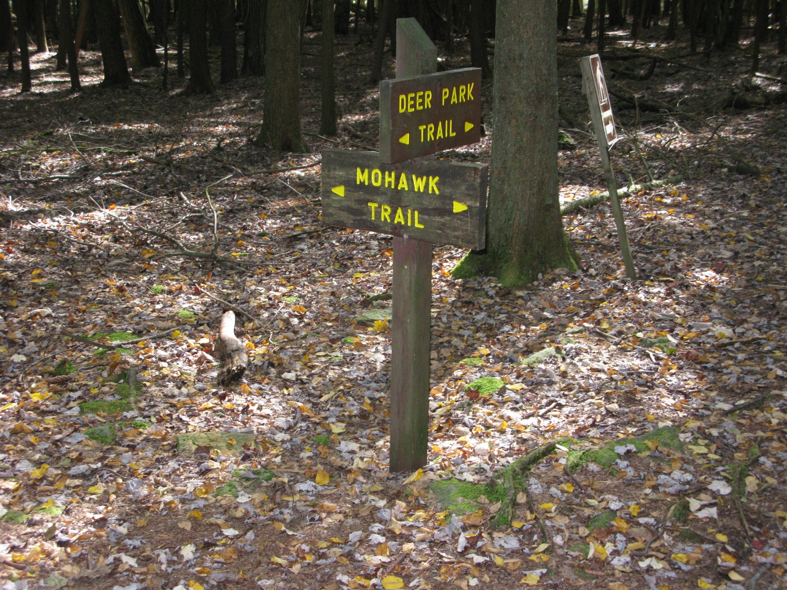
On the right, we approached Seneca Trail. This, again, is considered difficult hiking and I think it would be if you were coming up the mountain. We were heading down. (We had our punishment back on Ridge.) Seneca connects with Mohawk and then Deer Park. We took toMohawk and stayed on it down through some unbelievable old forests. The trail was rocky, steep and narrow in places, but it was so nice. I really liked this trail. After looking at the map, the part of Mohawk trail the leads to the opening of the park wasn’t there. Knowing we hiked it, I emailed the park ranger and he told me that they decommissioned this park of Mohawk and removed it from the map. That is too bad! It is gem. I guess it will continue to deteriorate, but I’d be tempted to do it again. It would be very steep and difficult should you use it to come up the mountain. Not for the inexperienced or out of shape.
As if we hadn’t had enough, I convinced Rob that we should cross Route 36 and head over to what is called the Forest Cathedral trails and see what there is. “But dear, it will be nicer to walk in the woods than to just walk along the highway dodging traffic… we can get to the car through the woods.”
Cook Forest Hike: Part 1 Summary
- Log Cabin Lot to Ridge Trail
- Ridge Trail through Campground
- Campground to Fire Tower Road
- Fire Tower Road to River Trail
- River Trail to Fire Tower
- Fire Tower to Seneca Trail
- Seneca Trail to Mohawk Trail
Time: About 2 hours and 45 minutes with a few breaks and photos
Stay tuned for part two… The Forest Cathedral trails.

2 Pingback